The municipality of O Rosal is located in the central southern part of the region. It borders on Oia to the north, on Tomiño to the east, on the Atlantic Ocean to the west and on A Guarda and Miño River to the south. The area of O Rosal is 44.1 km2 and its population is of 6455 inhabitants (2014 census).
From the touristic point of view, O Rosal presents an incomparable natural and ethnographic heritage with the riverside of the Tamuxo River, replete with idyllic green areas and the route of the mills of El Folón and El anually visited by thousands of visitors.
El Folón and El Picón Mills
Category: architectural and ethnographic heritage
Location: 41.96190207, -8.840902221
It consists of a group of 67 perfectly preserved water mills, placed in a line in a peerless natural area. They were declared Cultural Interest Site in 1998. Nowadays there is a path endorsed by the Mountaineering Federation of Galicia (PR-G-94).
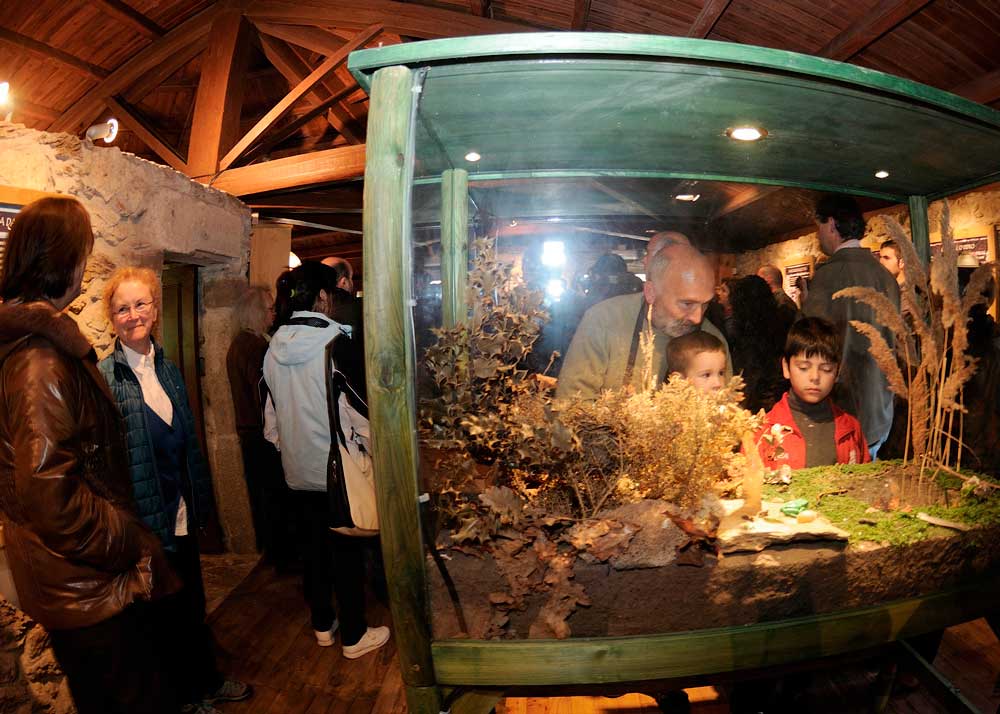
Las Aceñas Nature Classroom
Cathegory: Natural, architechtural and ethnographic heritage.
Location: 41.92263028, -8.82560603
The Natural Classroom of Molino de las Aceñas is located in a former water mill of the end of the 19th Century. It was redesigned to be used as an Interpretation Centre.
It is near the Tamuxe River and is surounded by a beautiful recreational area. It is an unrivalled setting for those who look for a natural area to rest, walk, cycle or enjoy a day outdoors with the family.
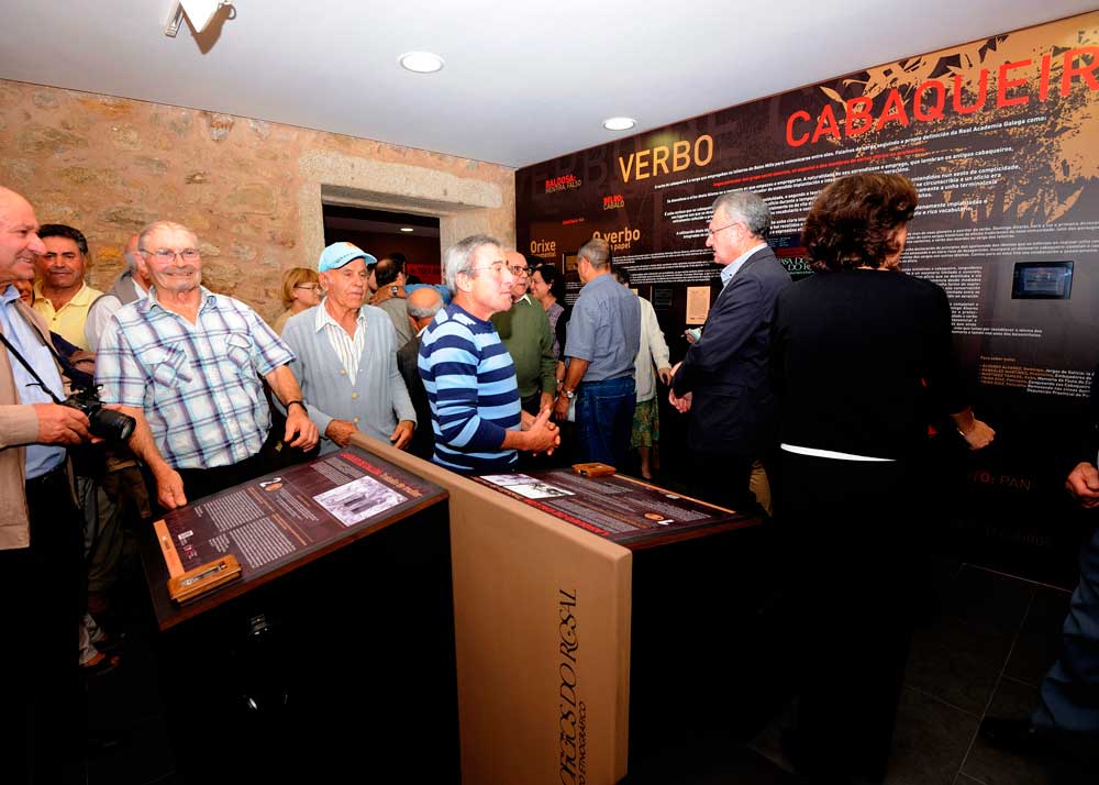
“Os Cabaqueiros” Ethnographic Centre
Cathegory: Ethnographic and architectural heritage
Location: 41.936995, -8.83628
The ethnographic Centre “Os Cabaqueiros” is located near the Calvario Square, in the centre of the town of O Rosal. In the Centre there is an exposition in honour of the Cabaqueiros, considered to be the descendants of the roman ceramists who occupied the region.
It offers an historical tour through an ancestral trade carried out by many people in and out Galicia.
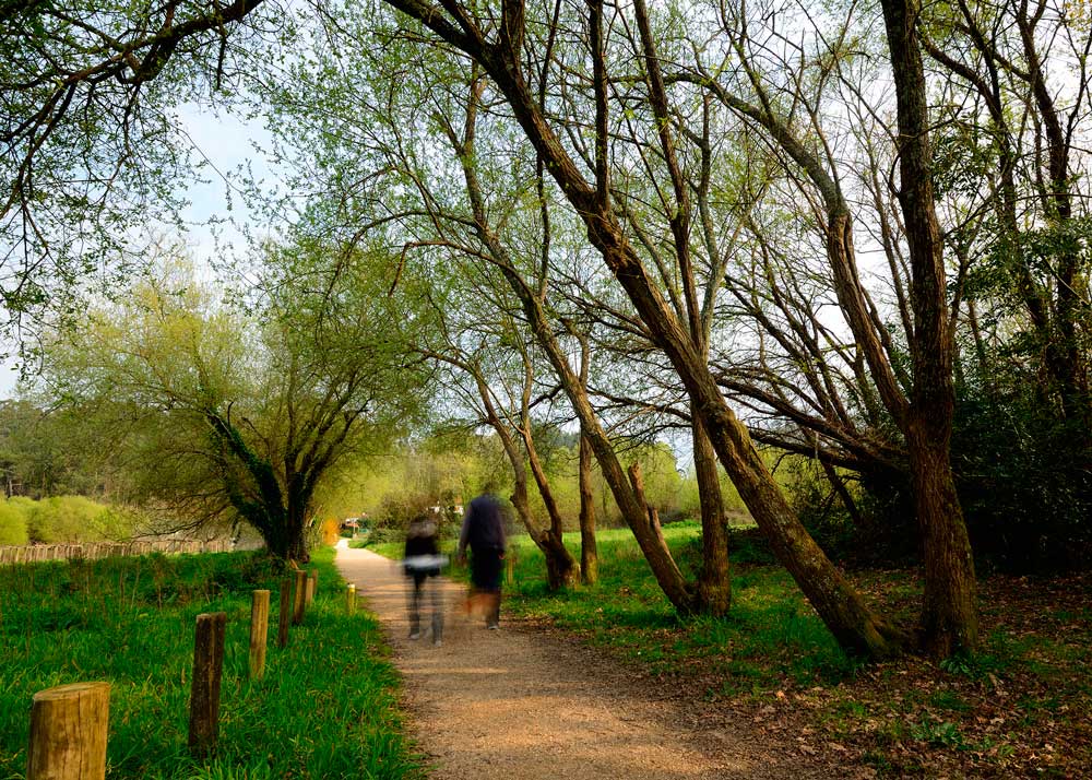
Fisherman’s path (PR-G-112)
Category: natural heritage
Location: 41.92325201, -8.786015578
It constitute a natural path of 7.2km which go across the riverside of Miño River and its tributary, the Tamuxe River. The itinerary begins in Eiras parish and run until the mouth of the Tamuxe River.
The natural heritage, the vegetation and the landscape stand out in the itinerary. The path is certified by the Mountaineering Federarion of Galicia as low difficulty (PR-G-112).
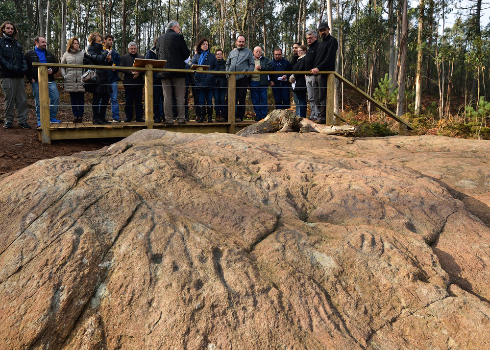
Petroglyphs and Archeological Site of Ghorghalado
Category: Archeological heritage
Location: 41.9312, -8.7918
The petroglyph of Ghorghalado is a unique example of Rock Art in Galicia. It is about 3000 – 4500 years old. It stands out because of its huge size, the profusion of motifs and the singularity of the base material (metamorphic rock of the complex Monteferro-O Rosal).


