Tui is located in the western part of the region. It borders on Tomiño to the south, on Miño River and Portugal to the east, on Gondomar to the west and on Porriño to the north. Tui covers an area of 68.3 km2 and has 16884 inhabitants (2014 census).
Regarding the tourism, Tui is the second historic site in terms of extension in Galicia with many elements of great historic importance. The historic city centre of Tui harbor many of these historic elements, among which it is worth highlighting the Cathedral of Santa María, the remains of the ancient wall and the streets and buildings that reminisce its medieval past.
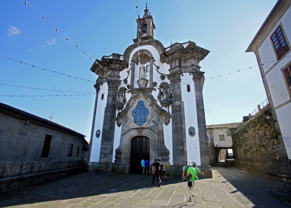
The historic city centre
Category: Ethnographic and architectural heritage
Location: 42.04507842, -8.644263968
The historic city centre of Tui presents narrow and steep streets of medieval style as well as charming places. There you can find stately homes, the remains of the ancient wall, remains of the ancient Jewish presence and several chapels and churches of varying styles and eras.
San Telmo church (in the picture) is the only example of Portuguese baroque, which stands out because of its round layout, its ribbed dome and the frescos of the early XIX century.
The historic city centre of Tui is a touristic reference point in Galicia and deserves a detailed visit. It is ideal for art, architecture and history enthusiasts.
.
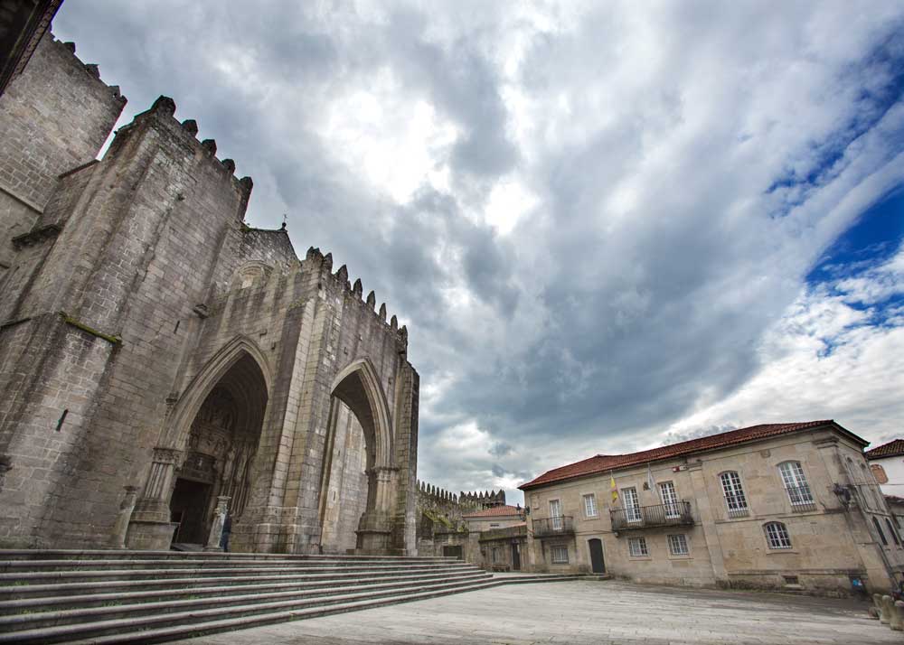
Santa María de Tui Cathedral
Category: Religious heritage
Location: 42.04614389, -8.644935006
Its construction began in 1120 and finished in 1180, in the Romanic era. Its appearance is mainly of a fortress, with battlemented towers and passages.
It was remodeled over its history, mainly in Gothic style. One example of this is the main facade dated back to 1225. Another Gothic example is the cloister, the only medieval one which has been preserved in the Cathedrals of Galicia. It is dated back to the second half of the XIII Century and its style is Cistercian Gothic.
Nowadays guided tours to the cathedral and its museum are offered.
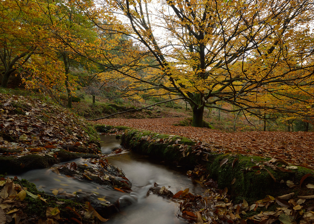
Natural Park of Monte Aloia
Category: Natural Park
Location: 42.08431713, -8.680075656
Monte Aloia was declared National Park in 1978, the first in Galicia. It has an altitude of 700 meters above sea level and there you could visit several lookouts with wonderful views of Miño River.
In the hillsides there are prehistoric and roman remains among which the Castro de Alto dos Cubos stands out.
The forest heritage also stands out being a recreation area for those who enjoy nature, trekking or cycling.
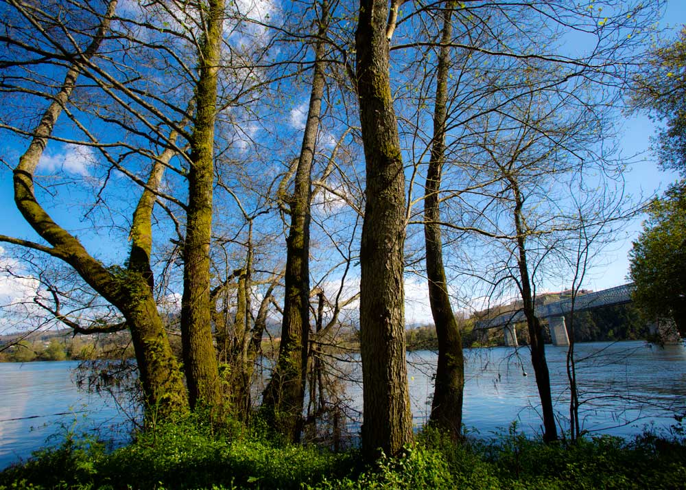
Riverside of Miño River
Category: Natural heritage
Location: 42.04452394, -8.643434593
The city of Tui is closely linked to Miño river. For those who want to enjoy the riverside, the river path which runs from the Marina beach to Penedo park is recommended. It runs between the ancient medieval wall and the Miño River.
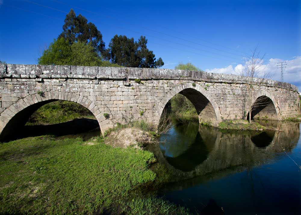
Roman Bridge of Veiga de Louro
Category: Architectural and ethnographic heritage
Location: 42.056502, -8.63432
This ancient bridge was built by the romans. The XIX Roman road passed through this bridge on its way to Santiago de Compostela and then to Lugo and Asturias.
It is the only way to Santiago de Compostela for Portuguese pilgrims. Nowadays there is a recreational area and a picnic area near the bridge.


